

Varen Visé-Eijsden-Maastricht app for iPhone and iPad
Developer: Eijsden-Margraten
First release : 17 May 2016
App size: 87.18 Mb
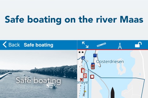
This free app is available for all leisure boaters who wish to safely sail upon the river Maas and the Albert Canal between Visé and Maastricht. Due to the connection to the AIS system the movements of commercial are visible for the app user. As all potential risks are shown you will be able to safely plan your route.
The app also provides up-to-date traffic information; bridges and locks are shown in a glance.
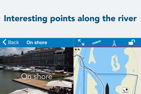
You may further find practical information in the easily accessible and searchable map, such as marinas, water sport clubs, gas stations, overnight accommodations, restaurants etcetera.
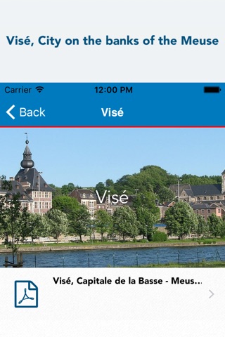
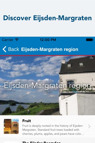
In addition you will find back ground information of the history of the Maas-area, the City of Visé, the municipality of Eijsden-Margraten and the City of Maastricht.
Summarized:
- reception of the AIS system on the E-water map
- free WIFI on and along the route
- offline map data; no need for data connection when using the app
- information of the waterway and adjacent area
- opening/closing times of bridges and locks – specifically real-time information on Sluis 20 Maastricht/’t Bassin
- up-to-date information of the National Waterboard
- information on junctions (national programme ‘Varen doe je samen’)
- touristic information of the area, in cooperation with the Tourist Office.
This mobile app has been developed by the municipality of Eijsden-Margraten. It is the result of a transnational cooperation within the Interreg IVB Northwest Europe project Numericanal.
For the support of the app the municipality also invested in a cross-border WIFI-network between Visé and Maastricht.
Both the app and the use of WIFI are free for all users.